Industries
Climate-informed solutions for flood risk assessment, watershed modeling, and sustainable water resource planning.
How We Help
Water management authorities face unprecedented challenges as climate change alters precipitation patterns, increases flood frequency, and strains existing infrastructure. The Regional Climatological Institute provides high-resolution climate projections specifically tailored for hydrological applications.
Our team combines advanced climate modeling with deep expertise in hydrology to deliver actionable insights for dam safety assessments, urban drainage design, and watershed-scale planning. We help water managers move from reactive responses to proactive, climate-resilient strategies.
Use Cases
Combine high-resolution precipitation projections with hydrological models to assess current and future flood return periods, supporting infrastructure investment decisions and emergency planning.
Derive updated design rainfall curves under future climate scenarios to ensure dam spillway capacity and urban drainage systems meet safety standards for decades to come.
Integrate downscaled climate data into watershed and urban stormwater models to optimize green-blue infrastructure investments and improve long-term water balance projections.
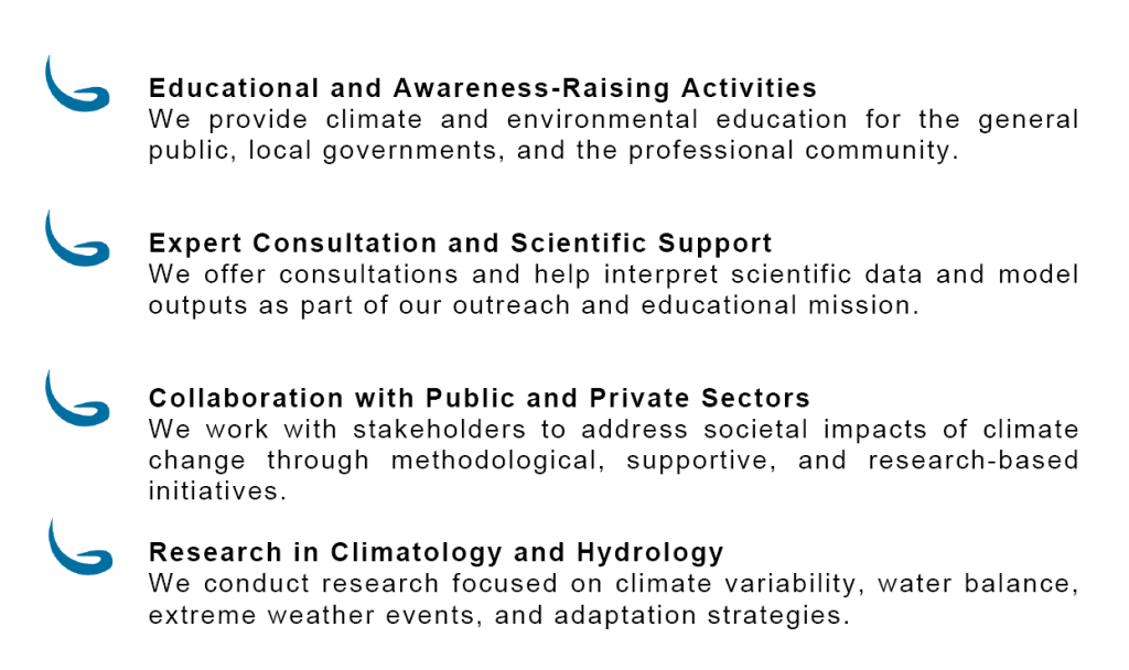
What We Do
We create educational programs, workshops, and presentations for municipalities, schools, and the general public.
Our specialists provide expert interpretation of scientific data, model outputs, and climate scenarios.
We work closely with partners from the public and private sectors to address the societal challenges of climate change.
We conduct research in climatology, hydrology, data science, and modeling — including climate impact analysis and dataset development.
Contact us to learn how climate data can improve your flood preparedness and infrastructure resilience.
Get in Touch